
Crook Peak - Jan 2025
| Hiking Crook Peak | |
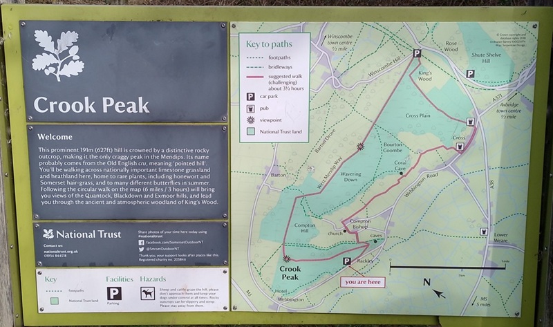
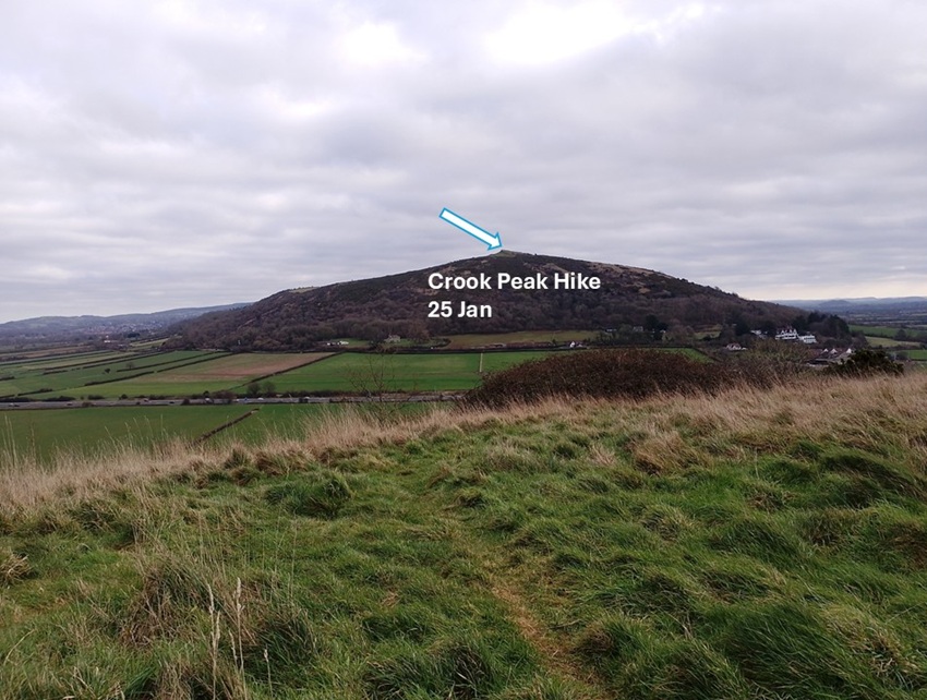
| When hiking to Crook Peak we were told to either park at King's Wood near Winscombe or on Webbington Road near Compton Bishop. We opted for the latter on early morning. The note at the car park warned us of a pending climb up to 191 metres. Our map tells us it is 186 metres. Either way: get ready for climb! | |
|
|
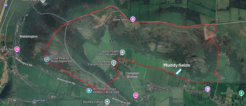
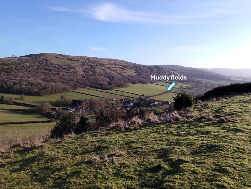
| We opted for a somewhat shorter route as drawn approximately in the satellite photo below. Either way we ended up crossing several farm fields that were oh so muddy! We were happy to have our wellies on today, but next time we may opt for a there-and-back route and avoid farm fields in the circular route. | |
|
|
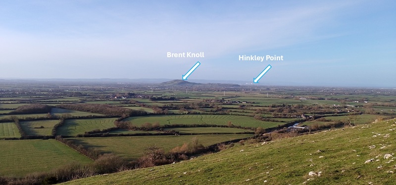
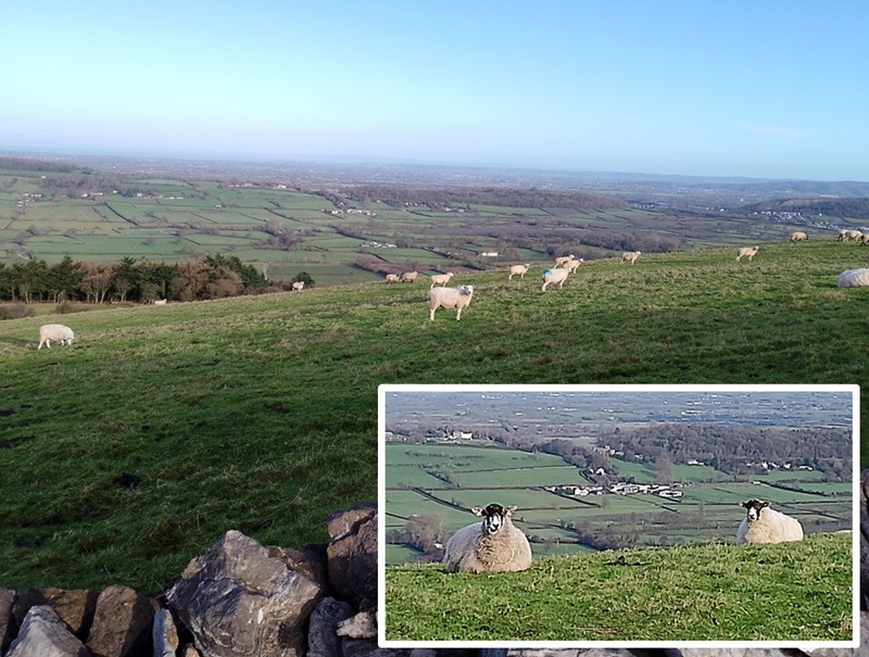
| As we climbed up the hill, we could clearly see Brent Knoll because it was a bright and sunny day. In fact, we could see all the way to Hinkley Point. Brent Knoll blocks the view of Burnham. | |
|
|
| We saw the village of Compton Bishop on the other side of the hill we were hiking up. That's where we would end up on our circular route. | |
|
|
|
It was a lovely day to enjoy the view from the top of Crook Peak.
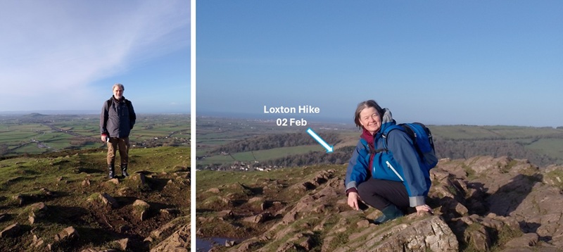
In February we went hiking near Loxton. Today we could see our vantage point from the hill above Loxton. How fun and lucky is that?! The weather was much better in January than in February. |
|
|
|
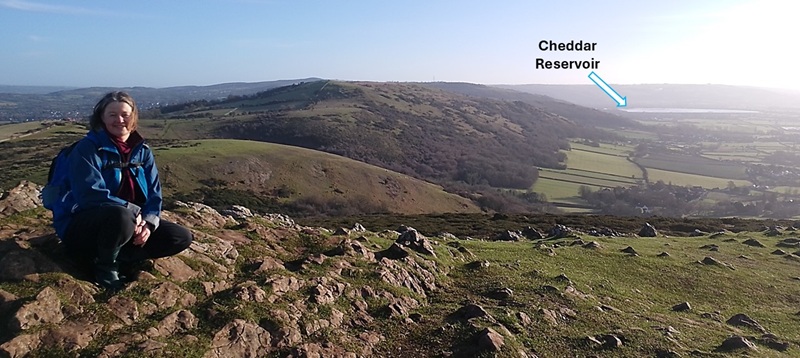
| In the other direction we could see all the way to the very recognisable circular Cheddar Reservoir. | |
|
|
| Once we had done the climbing, the hike along the ridge of the hill was easy. The ground was dry and would have been good with hiking boots. However, today was the day we tested out our wellies on a longer hike. | |
|
|
| As usual, we met plenty of sheep. It was a windy day so those that were standing were all pointing in the same direction. Funny! | |
|
|
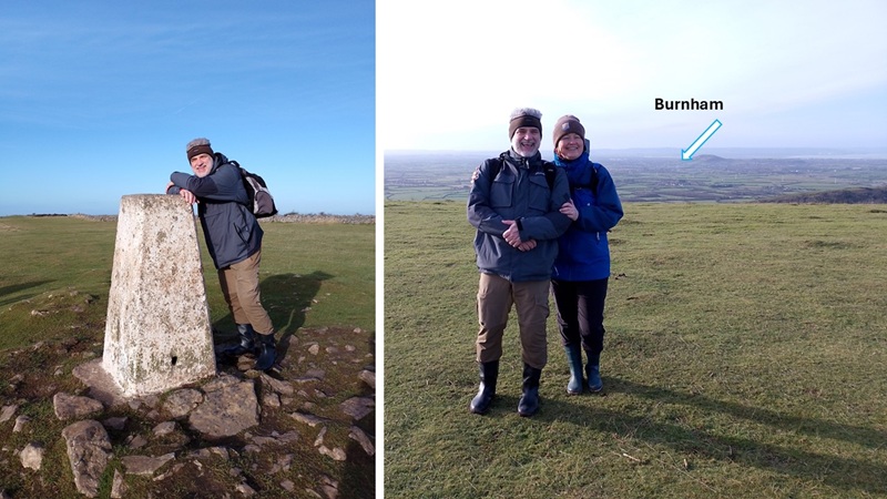
| We stopped at another one of the peaks along our route. It is called Wavering Down and stands 211 metres above sea level. Not much but felt like an achievement. We checked out the triangulation pillar and had our photo taken by fellow hikers. We made sure Burnham was our backdrop - hidden by Brent Knoll, of course. | |
|
|
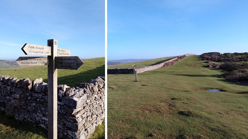
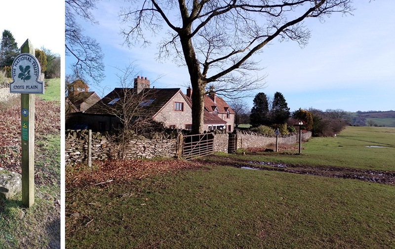
| At Cross Plain we decided to turn south and make our way back to Compton Bishop rather than continuing the loop to King's Wood. There is a lovely homestead and clear signage of the different options at this crossroads. | |
|
|
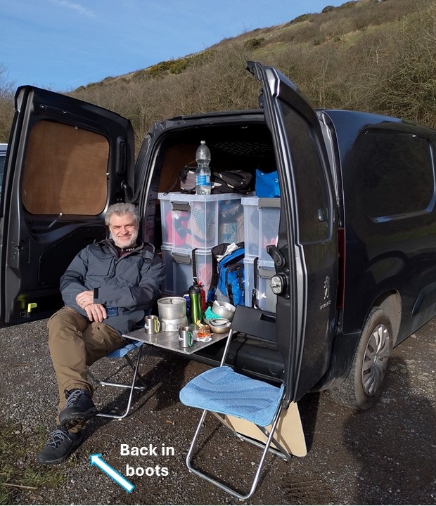
| I don't know why, but we do not have any photos of the return trip down a dark valley, through very muddy farm fields, past several animal paddocks, through Compton Bishop, past St. Andrew's Church, over the hill, and back to Percy. Then it was time to change from wellies to boots and sit down for a well-deserved cup of tea in the sun. | |
|
|
|
Postscript: We wore wellies and that was a good idea. |
January 2025